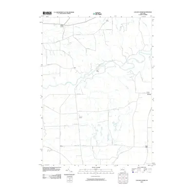
2010 Map of Collins Center
USGS Topo · Published 2010About this map
Cattaraugus Creek carves a deep, winding path through this western New York landscape, defining the rural character of the area near Zoar. The settlement pattern is largely governed by the creek's geometry and the surrounding high ground, with Zoar Bridge providing a critical crossing point between the steep banks. Small hamlets like Collins Center and East Otto anchor the road network, which includes descriptively named routes such as Scrabble Hill Rd and Swamp Rd.
Find a feature on this map
48 named features on this map. Tap any name to fly to it.
Don’t see what you’re looking for? This feature index may not catch every label — zoom into the map to look around manually.
Map Details
Editions of this 2010 Collins Center Map
This is the sole edition of this map. No revisions or reprints were ever made.
Other maps of this area

1905 · Eden
USGS Topo · 1:62,500

1907 · Eden
USGS Topo · 1:62,500

1923 · Cattaraugus
USGS Topo · 1:62,500

1924 · Ellicottville
USGS Topo · 1:62,500

1925 · Springville
USGS Topo · 1:62,500

1938 · Cattaraugus
USGS Topo · 1:62,500

1941 · Cattaraugus
USGS Topo · 1:62,500

1941 · Ellicottville
USGS Topo · 1:62,500

1944 · Eden
USGS Topo · 1:62,500

1944 · North Collins
USGS Topo · 1:31,680