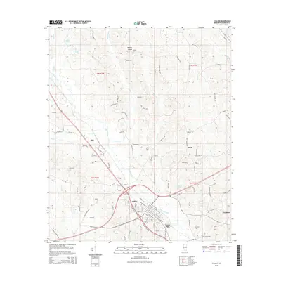
2015 Map of Collins
USGS Topo · Published 2015About this map
Collins serves as the central hub of this 2015 survey, where industrial zones and local parks like Vennie Park meet the winding course of Okatoma Creek. The landscape transition from the town center to the outlying timber and farmland is marked by several long-standing settlements such as Mish, Salem, and Ora. For those researching local lineages, the map identifies several burial grounds including Ora Cem, Kola Cem, and Blakely Cem, often located near family-named roads like Sellers Rd or William Warren Rd. North of the town center, Legion Lake and Chain Lake provide distinctive water features among the creek systems. The road network, including Salem Church Rd and Jones Chapel Rd, hints at the historical placement of community meeting points that have anchored this part of Mississippi for generations.
Find a feature on this map
124 named features on this map. Tap any name to fly to it.
Don’t see what you’re looking for? This feature index may not catch every label — zoom into the map to look around manually.
Map Details
Editions of this 2015 Collins Map
This is the sole edition of this map. No revisions or reprints were ever made.
Other maps of this area

1953 · Hattiesburg
USGS Topo · 1:250,000

1958 · Hattiesburg
USGS Topo · 1:250,000

1964 · Seminary
USGS Topo · 1:24,000

1965 · Hot Coffee
USGS Topo · 1:24,000

1974 · Lone Star
USGS Topo · 1:24,000

1974 · Williamsburg
USGS Topo · 1:24,000

1974 · Collins
USGS Topo · 1:24,000

1974 · Lake Mike Connor
USGS Topo · 1:24,000

1975 · Taylorsville
USGS Topo · 1:24,000

1975 · Mize
USGS Topo · 1:24,000