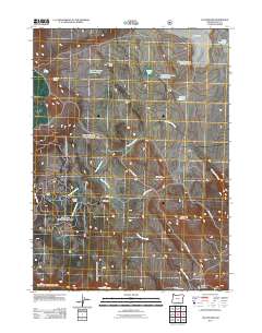
2011 Map of Collins Rim
USGS Topo · Published 2011About this map
Collins Cabin and Mate Cabin stand as notable markers of seasonal or ranching habitation along the high desert landscape of Lake County. This 2011 survey by the U.S. Geological Survey and Forest Service highlights a network of water management features essential to this arid region, including Lane Reservoir Number Four, O'Keefe Reservoir Number Six, and Lane Waterhole Number Eleven. The geography is defined by the prominent Collins Rim and the volcanic-influenced relief of Round Mountain. Sparse infrastructure like Barley Camp Rd and County Hwy 3-14A connects these remote outposts. Along the drainage of Twentymile Creek and Fifteenmile Creek, the map details numerous small water sources such as Rim Rock Spring and Dismal Spring, which supported the livestock and forestry operations at Barley Camp and various family-named cabins.
Find a feature on this map
30 named features on this map. Tap any name to fly to it.
Don’t see what you’re looking for? This feature index may not catch every label — zoom into the map to look around manually.
Map Details
Editions of this 2011 Collins Rim Map
This is the sole edition of this map. No revisions or reprints were ever made.
Other maps of this area

1886 · Alturas
USGS Topo · 1:250,000

1889 · Long Valley
USGS Topo · 1:250,000

1892 · Alturas
USGS Topo · 1:250,000

1954 · Vya
USGS Topo · 1:250,000

1954 · Alturas
USGS Topo · 1:250,000

1955 · Klamath Falls
USGS Topo · 1:250,000

1955 · Adel
USGS Topo · 1:250,000

1957 · Adel
USGS Topo · 1:250,000

1958 · Alturas
USGS Topo · 1:250,000

1958 · Klamath Falls
USGS Topo · 1:250,000