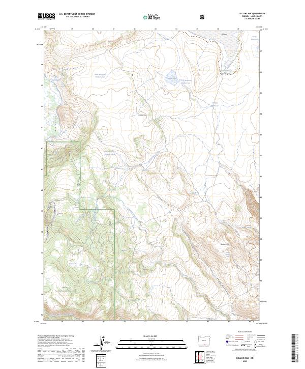
2023 Map of Collins Rim
USGS Topo · Published 2023About this map
Collins Rim rises above a landscape defined by significant water management and high-desert drainage in this Lake County survey. This portion of the Fremont National Forest contains a complex network of reservoirs and waterholes, including Lane Reservoir Number Four, O'Keefe Reservoir, and Lucky Reservoir, reflecting the region's historical reliance on seasonal water storage for ranching and forestry.
Find a feature on this map
30 named features on this map. Tap any name to fly to it.
Don’t see what you’re looking for? This feature index may not catch every label — zoom into the map to look around manually.
Map Details
Editions of this 2023 Collins Rim Map
This is the sole edition of this map. No revisions or reprints were ever made.
Other maps of this area

1886 · Alturas
USGS Topo · 1:250,000

1889 · Long Valley
USGS Topo · 1:250,000

1892 · Alturas
USGS Topo · 1:250,000

1954 · Vya
USGS Topo · 1:250,000

1954 · Alturas
USGS Topo · 1:250,000

1955 · Klamath Falls
USGS Topo · 1:250,000

1955 · Adel
USGS Topo · 1:250,000

1957 · Adel
USGS Topo · 1:250,000

1958 · Alturas
USGS Topo · 1:250,000

1958 · Klamath Falls
USGS Topo · 1:250,000