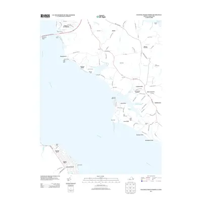
2013 Map of Colonial Beach North
USGS Topo · Published 2013About this map
The Potomac River dominates this 2013 survey of the Virginia and Maryland borderlands, serving as the central artery for a landscape defined by riverside communities and maritime infrastructure. To the south, the grid-laid streets of Colonial Beach and Classic Shore suggest a developed shoreline, while the crossing of the Harry W Nice Memorial Bridge links the two states. The map captures a mix of residential enclaves and leisure sites, from the established Swan Point Golf Course and Aqua-Land Marina to the more rural stretches around Shiloh and Mount Victoria.
Find a feature on this map
102 named features on this map. Tap any name to fly to it.
Don’t see what you’re looking for? This feature index may not catch every label — zoom into the map to look around manually.
Map Details
Editions of this 2013 Colonial Beach North Map
This is the sole edition of this map. No revisions or reprints were ever made.
Other maps of this area

1889 · Fredericksburg
USGS Topo · 1:125,000

1892 · Fredericksburg
USGS Topo · 1:125,000

1892 · Montross
USGS Topo · 1:62,500

1894 · Wicomico
USGS Topo · 1:62,500

1894 · Fredericksburg
USGS Topo · 1:125,000

1895 · Wicomico
USGS Topo · 1:62,500

1895 · Nomini
USGS Topo · 1:125,000

1895 · Montross
USGS Topo · 1:62,500

1898 · Nomini
USGS Topo · 1:125,000

1902 · Wicomico
USGS Topo · 1:62,500