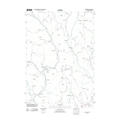
2012 Map of Colrain
USGS Topo · Published 2012About this map
The North River carves a deep path through the highlands of northern Massachusetts and southern Vermont, anchoring a series of nineteenth-century mill hamlets including Griswoldville, Lyonsville, and Foundry Village. This modern topographic survey highlights a landscape where industrial heritage meets rural preservation, featuring the Arthur Smith Covered Bridge and the colonial defensive sites of Fort Lucas and Fort Morris. Higher elevations are defined by family-named peaks like Franklin Hill and Amidon Pinnacle, while the lowlands near the Deerfield River support agricultural landmarks such as Pine Hill Orchards. Genealogists will find a high density of burial grounds, from the Stark Cem in the north to the curiously named Brick School Cem and the Chandler Hill Cem, documenting the long-standing community roots in the town of Colrain.
Find a feature on this map
154 named features on this map. Tap any name to fly to it.
Don’t see what you’re looking for? This feature index may not catch every label — zoom into the map to look around manually.
Map Details
Editions of this 2012 Colrain Map
This is the sole edition of this map. No revisions or reprints were ever made.
Other maps of this area

1886 · Hawley
USGS Topo · 1:62,500

1889 · Wilmington
USGS Topo · 1:62,500

1890 · Hawley
USGS Topo · 1:62,500

1890 · Greenfield
USGS Topo · 1:62,500

1891 · Wilmington
USGS Topo · 1:62,500

1891 · Brattleboro
USGS Topo · 1:62,500

1893 · Brattleboro
USGS Topo · 1:62,500

1894 · Greenfield
USGS Topo · 1:62,500

1894 · Hawley
USGS Topo · 1:62,500

1899 · Wilmington
USGS Topo · 1:62,500