
1899 Map of Wilmington
USGS Topo · Published 1931About this map
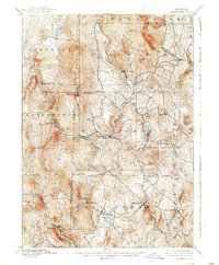
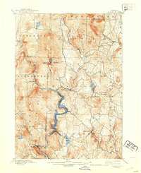
The Deerfield River carves a deep path through southern Vermont, defining the industrial and transport geography of this region during the late nineteenth century. In the southern reach of the survey, the Hoosac Tunnel and Wilmington R.R. follows the river's winding course to serve Readsboro, a valley settlement situated below Readsboro Falls. This rail connection was vital for the movement of timber and goods through the steep terrain, linking the remote mountain townships to broader trade networks.
Find a feature on this map
51 named features on this map. Tap any name to fly to it.
Don’t see what you’re looking for? This feature index may not catch every label — zoom into the map to look around manually.
Map Details
Editions of this 1899 Wilmington Map
3 editions found
Other maps of this area

1886 · Greylock
USGS Topo · 1:62,500

1886 · Hawley
USGS Topo · 1:62,500

1889 · Wilmington
USGS Topo · 1:62,500

1890 · Hawley
USGS Topo · 1:62,500

1890 · Greenfield
USGS Topo · 1:62,500

1891 · Wilmington
USGS Topo · 1:62,500

1891 · Greylock
USGS Topo · 1:62,500

1891 · Brattleboro
USGS Topo · 1:62,500

1893 · Brattleboro
USGS Topo · 1:62,500

1893 · Greylock
USGS Topo · 1:62,500