
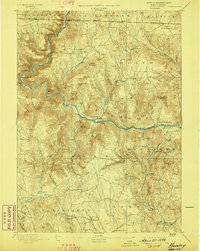
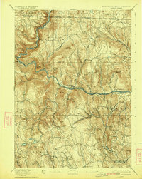
1894 Map of Hawley
USGS Topo · Published 1894About this map
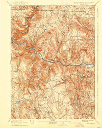
The Deerfield River carves a deep valley through the northern Berkshire hills, defining the industrial and transit corridor for this late 19th-century landscape. Following the river's path, the Fitchburg Railroad serves as the region's vital artery, anchored by the engineering feat of the Hoosac Tunnel in the west. This transportation network links riverside industrial settlements like Monroe Bridge and Zoar to the larger agricultural and mill villages of Charlemont and Buckland.
Find a feature on this map
82 named features on this map. Tap any name to fly to it.
Don’t see what you’re looking for? This feature index may not catch every label — zoom into the map to look around manually.
Map Details
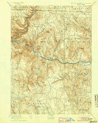
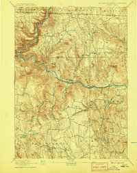
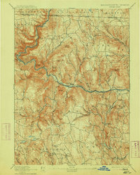
Editions of this 1894 Hawley Map
8 editions found

Other maps of this area

1885 · Northampton
USGS Topo · 1:62,500

1886 · Greylock
USGS Topo · 1:62,500

1886 · Hawley
USGS Topo · 1:62,500

1886 · Chesterfield
USGS Topo · 1:62,500

1886 · Northampton
USGS Topo · 1:62,500

1886 · Becket
USGS Topo · 1:62,500

1888 · Becket
USGS Topo · 1:62,500

1888 · Chesterfield
USGS Topo · 1:62,500

1889 · Wilmington
USGS Topo · 1:62,500

1890 · Hawley
USGS Topo · 1:62,500