
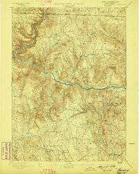
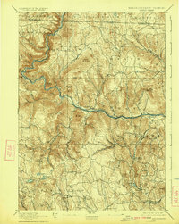
1894 Map of Hawley
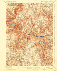
USGS Topo · Published 1942About this map
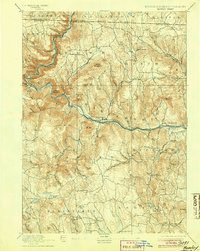
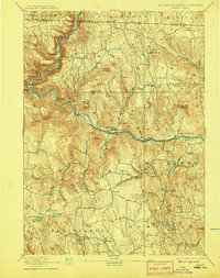
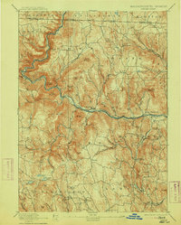
The Deerfield River carves a deep path through this upland terrain, serving as the primary corridor for commerce and travel at the close of the nineteenth century. Along its banks, the Fitchburg Railroad provides a critical rail link, anchored by the engineering feat of the Hoosac Tunnel on the western edge. Small manufacturing and agricultural hubs like Monroe Bridge and Charlemont are situated where the narrow river valleys widen enough to support industry and settlement.
Find a feature on this map
81 named features on this map. Tap any name to fly to it.
Don’t see what you’re looking for? This feature index may not catch every label — zoom into the map to look around manually.
Map Details
Editions of this 1894 Hawley Map
8 editions found

Other maps of this area

1885 · Northampton
USGS Topo · 1:62,500

1886 · Greylock
USGS Topo · 1:62,500

1886 · Hawley
USGS Topo · 1:62,500

1886 · Chesterfield
USGS Topo · 1:62,500

1886 · Northampton
USGS Topo · 1:62,500

1886 · Becket
USGS Topo · 1:62,500

1888 · Becket
USGS Topo · 1:62,500

1888 · Chesterfield
USGS Topo · 1:62,500

1889 · Wilmington
USGS Topo · 1:62,500

1890 · Hawley
USGS Topo · 1:62,500