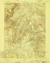
1894 Map of Hawley
USGS Topo · Published 1898About this map
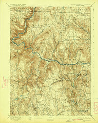
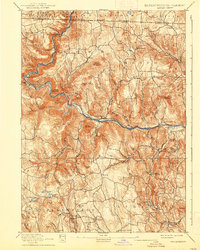
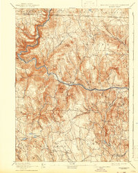
The Deerfield River carves a deep path through this 1880s landscape, serving as the primary corridor for the Fitchburg Railroad as it approaches the engineering marvel of the Hoosac Tunnel. This survey reveals a region defined by its narrow valleys and high ridges, where small manufacturing hubs like Monroe Bridge and railway stops at Zoar sit in contrast to the high-elevation farming communities of Hawley and Heath. The network of watercourses, including the Chickley River and Clesson Brook, provided the power for early local industry, while family-named peaks like Posumtuck Mountain and Legate Hill divide the drainage basins of the Westfield River to the south. Genealogists will find a clear record of the area's late 19th-century infrastructure, including the secondary Hoosac Tunnel & Wilmington Railroad following the river's north-reaching bends toward the Vermont border.
Find a feature on this map
87 named features on this map. Tap any name to fly to it.
Don’t see what you’re looking for? This feature index may not catch every label — zoom into the map to look around manually.
Map Details
Editions of this 1894 Hawley Map
8 editions found

Other maps of this area

1885 · Northampton
USGS Topo · 1:62,500

1886 · Greylock
USGS Topo · 1:62,500

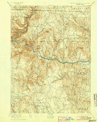
1886 · Hawley
USGS Topo · 1:62,500

1886 · Chesterfield
USGS Topo · 1:62,500

1886 · Northampton
USGS Topo · 1:62,500

1886 · Becket
USGS Topo · 1:62,500

1888 · Becket
USGS Topo · 1:62,500

1888 · Chesterfield
USGS Topo · 1:62,500

1889 · Wilmington
USGS Topo · 1:62,500

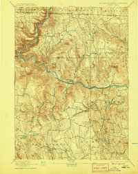
1890 · Hawley
USGS Topo · 1:62,500