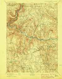
1894 Map of Hawley
USGS Topo · Published 1908About this map
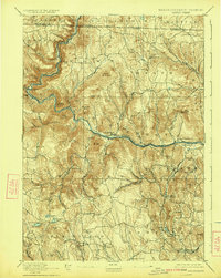
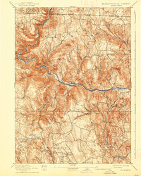
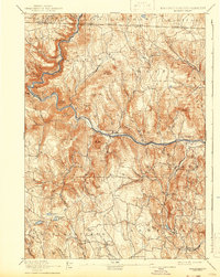
The Deerfield River carves a deep path through the highlands of western Massachusetts, where industrial engineering met the challenging terrain of the late nineteenth century. The presence of the Hoosac Tunnel and the Fitchburg Railroad highlights the era's focus on rail expansion, connecting the isolated hill towns of Charlemont and Zoar to broader markets. High-elevation settlements such as North Heath, Dell, and South Hawley are documented with their surrounding farmsteads and schoolhouse sites, providing a clear picture of the rural social structure before the shift toward larger urban centers. Many of these summits, including Adams Mountain and Negus Mountain, overlook a landscape where small-scale water power once fueled mills along Pelham Brook and the Chickley River. This topography reflects the transition from isolated agricultural communities like Plainfield and Ashfield to the developing manufacturing center at Monroe Bridge.
Find a feature on this map
99 named features on this map. Tap any name to fly to it.
Don’t see what you’re looking for? This feature index may not catch every label — zoom into the map to look around manually.
Map Details
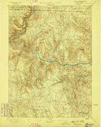
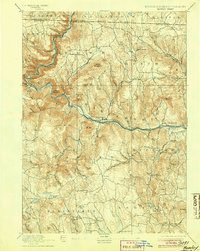
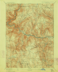
Editions of this 1894 Hawley Map
8 editions found

Other maps of this area

1885 · Northampton
USGS Topo · 1:62,500

1886 · Greylock
USGS Topo · 1:62,500

1886 · Hawley
USGS Topo · 1:62,500

1886 · Chesterfield
USGS Topo · 1:62,500

1886 · Northampton
USGS Topo · 1:62,500

1886 · Becket
USGS Topo · 1:62,500

1888 · Becket
USGS Topo · 1:62,500

1888 · Chesterfield
USGS Topo · 1:62,500

1889 · Wilmington
USGS Topo · 1:62,500

1890 · Hawley
USGS Topo · 1:62,500