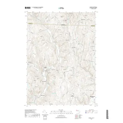
2018 Map of Colrain
USGS Topo · Published 2018About this map
The East Branch North River and its numerous tributaries, including Vaughn Brook and Miller Brook, carve through a landscape defined by prominent ridges like Franklin Hill and Colrain Mtn. This northern Massachusetts territory, bordering the Vermont state line, centers on the village of Colrain, with several smaller surrounding settlements such as Lyonsville, Griswoldville, and Shattuckville following the river's path. These clusters of habitation reflect a long-standing reliance on the valley's waterways for industry and connectivity.
Find a feature on this map
147 named features on this map. Tap any name to fly to it.
Don’t see what you’re looking for? This feature index may not catch every label — zoom into the map to look around manually.
Map Details
Editions of this 2018 Colrain Map
This is the sole edition of this map. No revisions or reprints were ever made.
Other maps of this area

1886 · Hawley
USGS Topo · 1:62,500

1889 · Wilmington
USGS Topo · 1:62,500

1890 · Hawley
USGS Topo · 1:62,500

1890 · Greenfield
USGS Topo · 1:62,500

1891 · Wilmington
USGS Topo · 1:62,500

1891 · Brattleboro
USGS Topo · 1:62,500

1893 · Brattleboro
USGS Topo · 1:62,500

1894 · Greenfield
USGS Topo · 1:62,500

1894 · Hawley
USGS Topo · 1:62,500

1899 · Wilmington
USGS Topo · 1:62,500