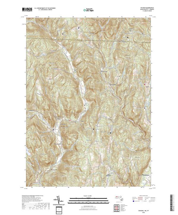
2024 Map of Colrain
USGS Topo · Published 2024About this map
The East Branch North River and West Branch North River converge near the heart of this landscape, carving a valley that has long dictated the placement of settlements and transport routes. Clusters of industrial and residential development like Foundry Village, Lyonsville, and Griswoldville follow the river's path, while the uplands are defined by ridges such as Franklin Hill and Colrain Mtn. This geography creates a distinct separation between the river-dependent commerce of Colrain and the more remote agricultural settlements of Packer Corner and West Leyden further east.
Find a feature on this map
148 named features on this map. Tap any name to fly to it.
Don’t see what you’re looking for? This feature index may not catch every label — zoom into the map to look around manually.
Map Details
Editions of this 2024 Colrain Map
This is the sole edition of this map. No revisions or reprints were ever made.
Other maps of this area

1886 · Hawley
USGS Topo · 1:62,500

1889 · Wilmington
USGS Topo · 1:62,500

1890 · Hawley
USGS Topo · 1:62,500

1890 · Greenfield
USGS Topo · 1:62,500

1891 · Wilmington
USGS Topo · 1:62,500

1891 · Brattleboro
USGS Topo · 1:62,500

1893 · Brattleboro
USGS Topo · 1:62,500

1894 · Greenfield
USGS Topo · 1:62,500

1894 · Hawley
USGS Topo · 1:62,500

1899 · Wilmington
USGS Topo · 1:62,500