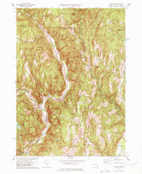
1977 Map of Colrain
USGS Topo · Published 1977About this map
Colrain and its surrounding mill villages along the West Branch North River define this corner of Franklin County. The map details the industrial and residential clustering in Griswoldville, Lyonsville, and Foundry Village, where water power from the river branches shaped local development. Of significant interest to local historians are the military sites from the colonial era, including Fort Morrison (Site) and Fort Lucas (Site), marking the defensive history of the Massachusetts frontier. The rugged geography is characterized by numerous family-named peaks such as Aunt Sophies Peak and Chandler Hill, with several small burying grounds like Stark Cem and Grove Cem scattered throughout the highlands. The transition from industrial valley floors to the protected slopes of Catamount State Forest illustrates the varied landscape of the late 20th century.
Find a feature on this map
92 named features on this map. Tap any name to fly to it.
Don’t see what you’re looking for? This feature index may not catch every label — zoom into the map to look around manually.
Map Details
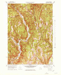
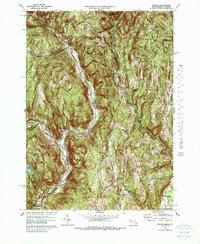
Editions of this 1977 Colrain Map
3 editions found
Other maps of this area

1886 · Hawley
USGS Topo · 1:62,500

1889 · Wilmington
USGS Topo · 1:62,500

1890 · Hawley
USGS Topo · 1:62,500

1890 · Greenfield
USGS Topo · 1:62,500

1891 · Wilmington
USGS Topo · 1:62,500

1891 · Brattleboro
USGS Topo · 1:62,500

1893 · Brattleboro
USGS Topo · 1:62,500

1894 · Greenfield
USGS Topo · 1:62,500

1894 · Hawley
USGS Topo · 1:62,500

1899 · Wilmington
USGS Topo · 1:62,500