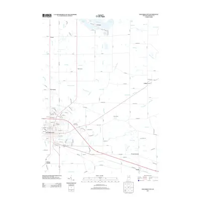
2013 Map of Columbia City
USGS Topo · Published 2013About this map
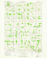
Columbia City serves as the central hub of this Whitley County landscape, where the confluence of several regional waterways dictates the layout of the land. The Blue River winds through the northern and central sections, while the Eel River flows across the southern portion, joined by an extensive network of drainage features such as Rittenhouse Ditch, Rouch Ditch, and Miller Ditch. These waterways highlight a legacy of agricultural engineering essential to the Indiana till plains.
Find a feature on this map
138 named features on this map. Tap any name to fly to it.
Don’t see what you’re looking for? This feature index may not catch every label — zoom into the map to look around manually.
Map Details
Editions of this 2013 Columbia City Map
This is the sole edition of this map. No revisions or reprints were ever made.
Other maps of this area
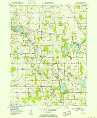
1951 · Ormas
USGS Topo · 1:24,000
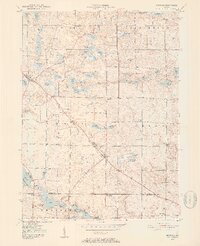
1951 · Merriam
USGS Topo · 1:24,000

1953 · Fort Wayne
USGS Topo · 1:250,000
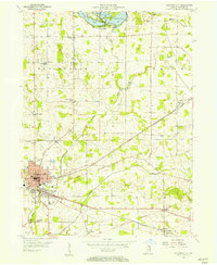
1955 · Columbia City
USGS Topo · 1:24,000
1955 · Ege
USGS Topo · 1:24,000

1956 · Fort Wayne
USGS Topo · 1:250,000
1956 · Lorane
USGS Topo · 1:24,000
1957 · Churubusco
USGS Topo · 1:24,000
1961 · Arcola
USGS Topo · 1:24,000
1961 · Laud
USGS Topo · 1:24,000