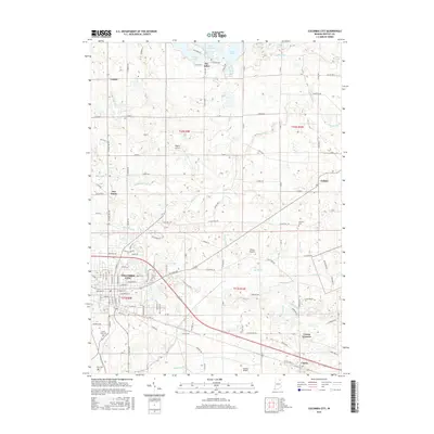
2016 Map of Columbia City
USGS Topo · Published 2016About this map
Columbia City serves as the focal point of this Indiana landscape, situated where the Blue River and the Eel River converge. The area's glacial history is visible in the cluster of water bodies to the north, including Shriner Lake, Little Cedar Lake, and Round Lake, which together form the Tri-Lakes community. These natural features contrast with the rigid grid of county roads and the drainage network of ditches, such as Rittenhouse Ditch and Cole Ditch, that support the region's agricultural productivity.
Find a feature on this map
96 named features on this map. Tap any name to fly to it.
Don’t see what you’re looking for? This feature index may not catch every label — zoom into the map to look around manually.
Map Details
Editions of this 2016 Columbia City Map
This is the sole edition of this map. No revisions or reprints were ever made.
Other maps of this area
1951 · Ormas
USGS Topo · 1:24,000
1951 · Merriam
USGS Topo · 1:24,000

1953 · Fort Wayne
USGS Topo · 1:250,000
1955 · Columbia City
USGS Topo · 1:24,000
1955 · Ege
USGS Topo · 1:24,000

1956 · Fort Wayne
USGS Topo · 1:250,000
1956 · Lorane
USGS Topo · 1:24,000
1957 · Churubusco
USGS Topo · 1:24,000
1961 · Arcola
USGS Topo · 1:24,000
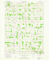
1961 · Laud
USGS Topo · 1:24,000