
1955 Map of Columbia City
USGS Topo · Published 1957About this map
Columbia City serves as the focal point of this mid-century Whitley County survey, situated at the intersection of the Blue River and the Pennsylvania railroad line. The landscape is defined by the transition from the glaciated lake country in the north to the fertile river valleys in the south. In the northern reaches, the Tri-Lakes region—comprising Shriner Lake, Cedar Lake, and Round Lake—is home to the State Fish Hatchery, indicating the area's importance for local conservation and recreation.
Find a feature on this map
39 named features on this map. Tap any name to fly to it.
Don’t see what you’re looking for? This feature index may not catch every label — zoom into the map to look around manually.
Map Details
Editions of this 1955 Columbia City Map
This is the sole edition of this map. No revisions or reprints were ever made.
Other maps of this area

1951 · Ormas
USGS Topo · 1:24,000

1951 · Merriam
USGS Topo · 1:24,000

1953 · Fort Wayne
USGS Topo · 1:250,000

1955 · Ege
USGS Topo · 1:24,000

1956 · Fort Wayne
USGS Topo · 1:250,000

1956 · Lorane
USGS Topo · 1:24,000

1957 · Churubusco
USGS Topo · 1:24,000

1961 · Arcola
USGS Topo · 1:24,000
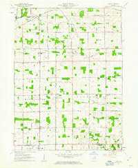
1961 · Laud
USGS Topo · 1:24,000
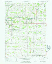
1962 · South Whitley East
USGS Topo · 1:24,000