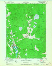
1948 Map of Columbia Falls
USGS Topo · Published 1968About this map
The Pleasant River and the Chandler River define the watery landscape of this Washington County survey, where the village of Columbia Falls serves as a primary hub. The region is characterized by extensive wetlands and peatlands known locally as heaths, including the expansive Big Heath and Marst Heath. These natural features dominate the drainage patterns of Centerville and Columbia, shaping the placement of early settlements and transportation routes. The Maine Central railroad cuts through the southern portion of the map, stopping at Jonesboro Station and providing a vital link to the outside world during the mid-20th century.
Find a feature on this map
37 named features on this map. Tap any name to fly to it.
Don’t see what you’re looking for? This feature index may not catch every label — zoom into the map to look around manually.
Map Details
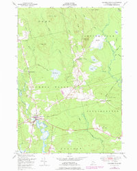
Editions of this 1948 Columbia Falls Map
2 editions found
Other maps of this area

1902 · Cherryfield
USGS Topo · 1:62,500

1904 · Cherryfield
USGS Topo · 1:62,500

1921 · Columbia Falls
USGS Topo · 1:62,500

1921 · Columbia Falls
USGS Topo · 1:62,500

1941 · Columbia Falls
USGS Topo · 1:62,500

1941 · Wesley
USGS Topo · 1:62,500

1941 · Tug Mountain
USGS Topo · 1:62,500

1942 · Cherryfield
USGS Topo · 1:62,500

1942 · Columbia Falls
USGS Topo · 1:62,500

1943 · Tug Mountain
USGS Topo · 1:62,500