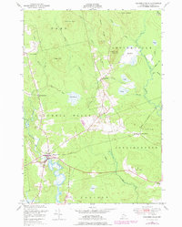
1948 Map of Columbia Falls
USGS Topo · Published 1978About this map
The Columbia Falls settlement serves as the focal point of this coastal Washington County landscape, situated where the Pleasant River winds through the southern reaches of the map. This 1948 field survey, photorevised in the late 1970s, captures a rural Downeast Maine economy defined by its water systems and early rail infrastructure. The Central Maine railroad line cuts an east-west path across the center of the sheet, connecting Jonesboro Station to the interior.
Find a feature on this map
40 named features on this map. Tap any name to fly to it.
Don’t see what you’re looking for? This feature index may not catch every label — zoom into the map to look around manually.
Map Details
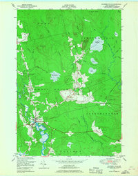
Editions of this 1948 Columbia Falls Map
2 editions found
Other maps of this area

1902 · Cherryfield
USGS Topo · 1:62,500

1904 · Cherryfield
USGS Topo · 1:62,500

1921 · Columbia Falls
USGS Topo · 1:62,500

1921 · Columbia Falls
USGS Topo · 1:62,500

1941 · Columbia Falls
USGS Topo · 1:62,500

1941 · Wesley
USGS Topo · 1:62,500

1941 · Tug Mountain
USGS Topo · 1:62,500

1942 · Cherryfield
USGS Topo · 1:62,500

1942 · Columbia Falls
USGS Topo · 1:62,500

1943 · Tug Mountain
USGS Topo · 1:62,500