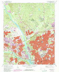
1972 Map of Columbia North
USGS Topo · Published 1990About this map
The Congaree River serves as the focal point where the Broad River and Saluda River converge, defining the urban expansion of Columbia and West Columbia during the early 1970s. This survey, updated with 1988 aerial revisions, shows the city's significant institutional footprint, ranging from the State Capitol and Governors Mansion to academic centers like Allen University, Benedict College, and the Lutheran Seminary. The map captures the transition from the dense street grids of Eau Claire and Belmont to the developing suburbs around Denny Terrace.
Find a feature on this map
88 named features on this map. Tap any name to fly to it.
Don’t see what you’re looking for? This feature index may not catch every label — zoom into the map to look around manually.
Map Details
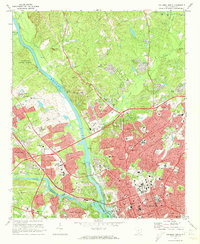
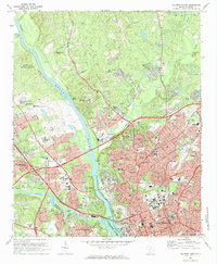
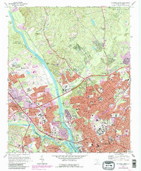
Editions of this 1972 Columbia North Map
4 editions found
Other maps of this area

1904 · Columbia
USGS Topo · 1:125,000

1935 · Killian
USGS Topo · 1:48,000

1937 · Killian
USGS Topo · 1:62,500

1941 · Spartanburg
USGS Topo · 1:250,000

1942 · Camden
USGS Topo · 1:125,000

1944 · Edmund
USGS Topo · 1:62,500

1946 · Irmo
USGS Topo · 1:24,000

1947 · Columbia North
USGS Topo · 1:24,000

1947 · Richtex
USGS Topo · 1:24,000

1948 · Hopkins
USGS Topo · 1:62,500