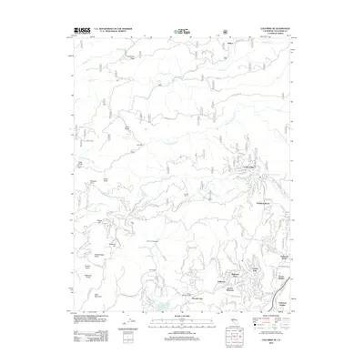
2012 Map of Columbia SE
USGS Topo · Published 2012About this map
Sonora Meadows and the surrounding Tuolumne County foothills are defined by a network of residential developments and historic agricultural holdings in the early 21st century. The landscape is deeply tied to its water resources, with the S Fork Stanislaus River cutting through the northern terrain and the Phoenix Reservoir serving as a central landmark. Settlement patterns show significant growth in communities like Crystal Falls, Belleview Acres, and Cedar Ridge, while older rural identities persist at Comstock Ranch and Italian Ranch. Physical evidence of the area's industrial and utility history is visible through features like the Hatler Mill and the Phoenix Powerhouse. The mapping of the Columbia Ditch reflects the long-standing water management systems essential for both historical mining and modern residential life in this portion of the Sierra Nevada foothills.
Find a feature on this map
125 named features on this map. Tap any name to fly to it.
Don’t see what you’re looking for? This feature index may not catch every label — zoom into the map to look around manually.
Map Details
Editions of this 2012 Columbia SE Map
This is the sole edition of this map. No revisions or reprints were ever made.
Other maps of this area

1891 · Big Trees
USGS Topo · 1:125,000

1893 · Sonora
USGS Topo · 1:125,000

1894 · Big Trees
USGS Topo · 1:125,000

1896 · Sonora
USGS Topo · 1:125,000

1897 · Sonora
USGS Topo · 1:125,000

1897 · Big Trees
USGS Topo · 1:125,000

1898 · Sonora
USGS Topo · 1:125,000

1901 · Big Trees
USGS Topo · 1:125,000

1947 · Sacramento
USGS Topo · 1:250,000

1947 · San Jose
USGS Topo · 1:250,000