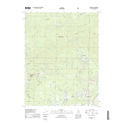
2018 Map of Columbia SE
USGS Topo · Published 2018About this map
Phoenix Lake and the nearby Phoenix Reservoir serve as central points in this landscape of the Sierra Nevada foothills. This 2018 survey reveals a terrain defined by both its gold-mining history and modern residential growth, where suburban developments like Mono Vista and Belleview sit adjacent to the steep canyons of the S Fork Stanislaus River. The legacy of 19th-century resource extraction is evident in the presence of the Sonnet Mine and roads like Shanghai Mine Rd and Remington Mine Rd.
Find a feature on this map
144 named features on this map. Tap any name to fly to it.
Don’t see what you’re looking for? This feature index may not catch every label — zoom into the map to look around manually.
Map Details
Editions of this 2018 Columbia SE Map
This is the sole edition of this map. No revisions or reprints were ever made.
Other maps of this area

1891 · Big Trees
USGS Topo · 1:125,000

1893 · Sonora
USGS Topo · 1:125,000

1894 · Big Trees
USGS Topo · 1:125,000

1896 · Sonora
USGS Topo · 1:125,000

1897 · Sonora
USGS Topo · 1:125,000

1897 · Big Trees
USGS Topo · 1:125,000

1898 · Sonora
USGS Topo · 1:125,000

1901 · Big Trees
USGS Topo · 1:125,000

1947 · Sacramento
USGS Topo · 1:250,000

1947 · San Jose
USGS Topo · 1:250,000