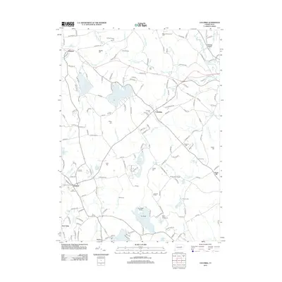
2012 Map of Columbia
USGS Topo · Published 2012About this map
Columbia Lake and the town of Columbia anchor this central Connecticut landscape, where the headwaters of the Hop River and Tenmile River carve through a terrain of named rises like Utley Hill and Post Hill. The map documents a blend of established residential areas and preserved open spaces, such as Wells Woods and the Waters Edge Campground on the shores of Williams Pond. Local heritage is well-preserved in several burial grounds, including the Andover Road Cem and Saint Peters Cem near Hebron.
Find a feature on this map
177 named features on this map. Tap any name to fly to it.
Don’t see what you’re looking for? This feature index may not catch every label — zoom into the map to look around manually.
Map Details
Editions of this 2012 Columbia Map
This is the sole edition of this map. No revisions or reprints were ever made.
Other maps of this area

1892 · Woodstock
USGS Topo · 1:62,500

1892 · Tolland
USGS Topo · 1:62,500

1892 · Norwich
USGS Topo · 1:62,500

1892 · Gilead
USGS Topo · 1:62,500

1921 · Tolland
USGS Topo · 1:62,500

1921 · Woodstock
USGS Topo · 1:62,500

1943 · Fitchville
USGS Topo · 1:31,680

1944 · Marlboro
USGS Topo · 1:31,680

1944 · South Coventry
USGS Topo · 1:31,680

1944 · Columbia
USGS Topo · 1:31,680