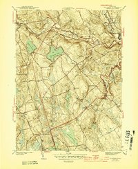
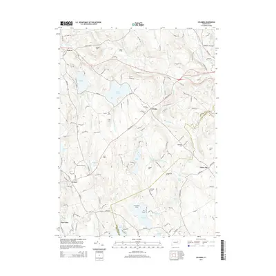
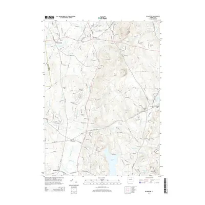
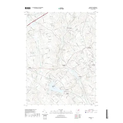
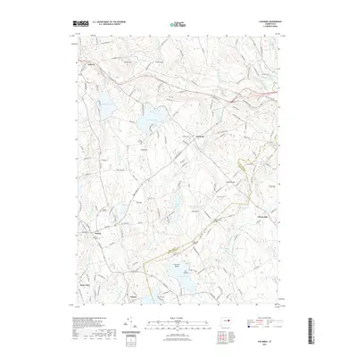
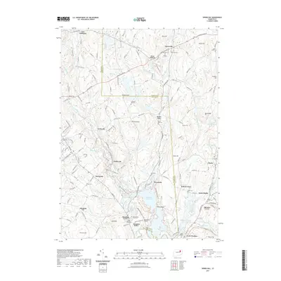
1944 Map of Columbia
USGS Topo · Published 1944About this map
Columbia Lake and the surrounding Tolland County highlands define this mid-century portrait of eastern Connecticut. The landscape is interconnected by the New York New Haven and Hartford railroad, which threads through the valleys near Andover and Amston. The map reveals a decentralized educational and spiritual network of the era, featuring numerous district institutions such as Jagger Sch, West St Sch, and St Peters Ch.
Find a feature on this map
67 named features on this map. Tap any name to fly to it.
Don’t see what you’re looking for? This feature index may not catch every label — zoom into the map to look around manually.
Map Details
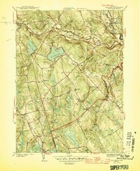
Editions of this 1944 Columbia Map
3 editions found
Historical Maps of Mansfield Through Time
42 maps found

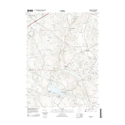
1892 Gilead
Tolland County, CT

1892 Tolland
Tolland County, CT

1921 Tolland
Tolland County, CT

1928 Long Meadow
Tolland County, CT

1944 Columbia
Tolland County, CT

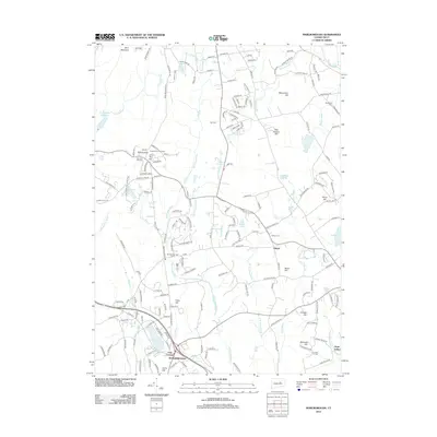
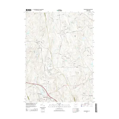
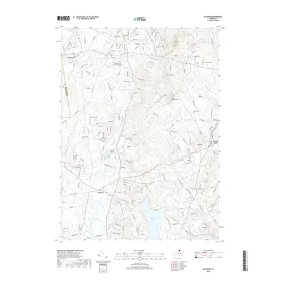
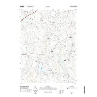
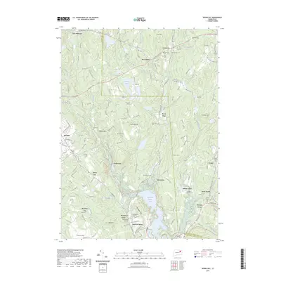
1944 Marlboro
Tolland County, CT

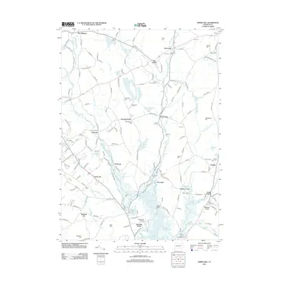
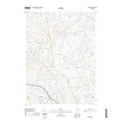
1945 Spring Hill
Tolland County, CT

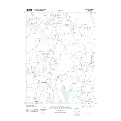
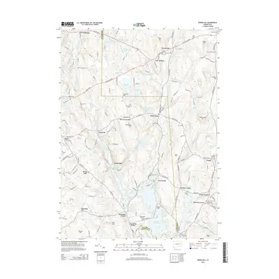
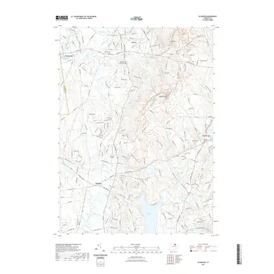
1946 Ellington
Tolland County, CT

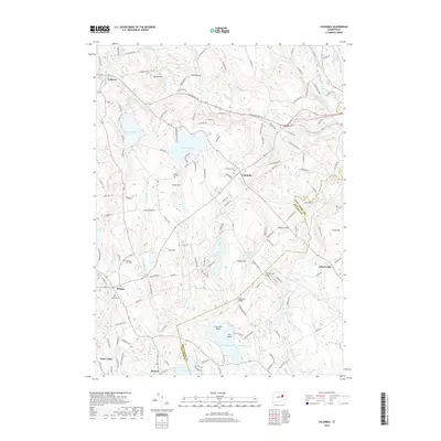
1953 Columbia
Tolland County, CT

1953 Ellington
Tolland County, CT

1953 Marlborough
Tolland County, CT

1953 Spring Hill
Tolland County, CT

1967 Ellington
Tolland County, CT

1967 Marlborough
Tolland County, CT

1983 Coventry
Tolland County, CT

1983 Spring Hill
Tolland County, CT

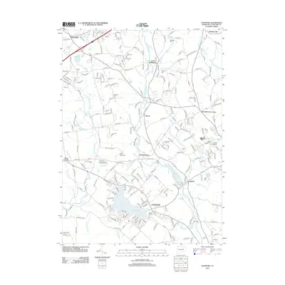
2012 Columbia
Tolland County, CT
2012 Coventry
Tolland County, CT
2012 Ellington
Tolland County, CT
2012 Marlborough
Tolland County, CT
2012 Spring Hill
Tolland County, CT
2015 Columbia
Tolland County, CT
2015 Coventry
Tolland County, CT
2015 Ellington
Tolland County, CT
2015 Marlborough
Tolland County, CT
2015 Spring Hill
Tolland County, CT
2018 Columbia
Tolland County, CT
2018 Coventry
Tolland County, CT
2018 Ellington
Tolland County, CT
2018 Marlborough
Tolland County, CT
2018 Spring Hill
Tolland County, CT
2021 Columbia
Tolland County, CT
2021 Coventry
Tolland County, CT
2021 Ellington
Tolland County, CT
2021 Marlborough
Tolland County, CT
2021 Spring Hill
Tolland County, CT
2023 Spring Hill
Tolland County, CT

2024 Columbia
Tolland County, CT

2024 Coventry
Tolland County, CT

2024 Ellington
Tolland County, CT

2024 Marlborough
Tolland County, CT

2024 Spring Hill
Tolland County, CT