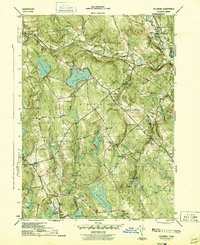
1944 Map of Columbia
USGS Topo · Published 1944About this map
The New York New Haven and Hartford railroad cuts a diagonal path through this Tolland County landscape, connecting rural outposts just as the region began transitioning from its agricultural roots toward a mid-century residential character. Local life centers on established villages like Columbia and Andover, while the presence of Andover Lake, Columbia Lake, and Amston Lake suggests the growing importance of water-based recreation and lakeside communities.
Find a feature on this map
66 named features on this map. Tap any name to fly to it.
Don’t see what you’re looking for? This feature index may not catch every label — zoom into the map to look around manually.
Map Details
Editions of this 1944 Columbia Map
3 editions found
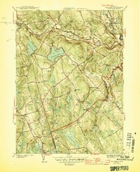
Other maps of this area

1892 · Woodstock
USGS Topo · 1:62,500

1892 · Tolland
USGS Topo · 1:62,500

1892 · Norwich
USGS Topo · 1:62,500

1892 · Gilead
USGS Topo · 1:62,500

1921 · Tolland
USGS Topo · 1:62,500

1921 · Woodstock
USGS Topo · 1:62,500

1943 · Fitchville
USGS Topo · 1:31,680

1944 · Marlboro
USGS Topo · 1:31,680

1944 · South Coventry
USGS Topo · 1:31,680

1944 · Columbia
USGS Topo · 1:31,680