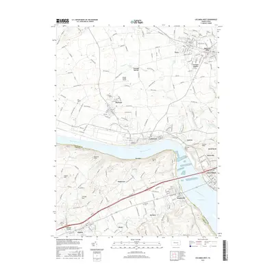
2016 Map of Columbia West
USGS Topo · Published 2016About this map
The Susquehanna River carves a deep valley through this Pennsylvania landscape, separating Lancaster and York counties while feeding the expansive Lake Clarke reservoir. The topography is defined by the Hellam Hills and sharp elevations like Chickies Rock and Chimney Rock. This modern survey documents a series of established borough and township settlements along the river's path, including Columbia, Wrightsville, and Marietta.
Find a feature on this map
193 named features on this map. Tap any name to fly to it.
Don’t see what you’re looking for? This feature index may not catch every label — zoom into the map to look around manually.
Map Details
Editions of this 2016 Columbia West Map
This is the sole edition of this map. No revisions or reprints were ever made.
Other maps of this area

1902 · Lancaster
USGS Topo · 1:62,500

1904 · Lancaster
USGS Topo · 1:62,500

1908 · Middletown
USGS Topo · 1:62,500

1908 · York
USGS Topo · 1:62,500

1910 · York
USGS Topo · 1:62,500

1912 · Mc Calls Ferry
USGS Topo · 1:62,500

1943 · Lancaster
USGS Topo · 1:62,500

1943 · Middletown
USGS Topo · 1:62,500

1943 · Mc Calls Ferry
USGS Topo · 1:62,500

1948 · Baltimore
USGS Topo · 1:250,000