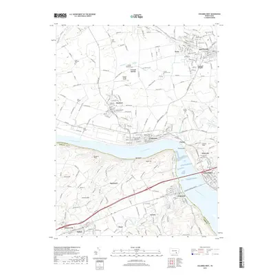
2019 Map of Columbia West
USGS Topo · Published 2019About this map
The Susquehanna River serves as a massive geographic divider in this region of Pennsylvania, separating Lancaster and York counties. On the eastern bank, the riverfront settlements of Marietta and Chickies give way to the upland plains of Maytown and the prominent borough of Mount Joy. This landscape is marked by a high density of early religious and burial sites, including the Donegal Presbyterian Church Cem and the Maytown Reformed Churchyard Cem. The presence of the Wesley African Methodist Episcopal Church and Bethel African Methodist Episcopal Church in Marietta speaks to the area's social history. To the west, the terrain rises sharply into the Hellam Hills and Hallam, where landmarks like Chimney Rock and Buzzards Roost overlook the river valley, and the small community of Wrightsville stands at the western bridgehead.
Find a feature on this map
244 named features on this map. Tap any name to fly to it.
Don’t see what you’re looking for? This feature index may not catch every label — zoom into the map to look around manually.
Map Details
Editions of this 2019 Columbia West Map
This is the sole edition of this map. No revisions or reprints were ever made.
Other maps of this area

1902 · Lancaster
USGS Topo · 1:62,500

1904 · Lancaster
USGS Topo · 1:62,500

1908 · Middletown
USGS Topo · 1:62,500

1908 · York
USGS Topo · 1:62,500

1910 · York
USGS Topo · 1:62,500

1912 · Mc Calls Ferry
USGS Topo · 1:62,500

1943 · Lancaster
USGS Topo · 1:62,500

1943 · Middletown
USGS Topo · 1:62,500

1943 · Mc Calls Ferry
USGS Topo · 1:62,500

1948 · Baltimore
USGS Topo · 1:250,000