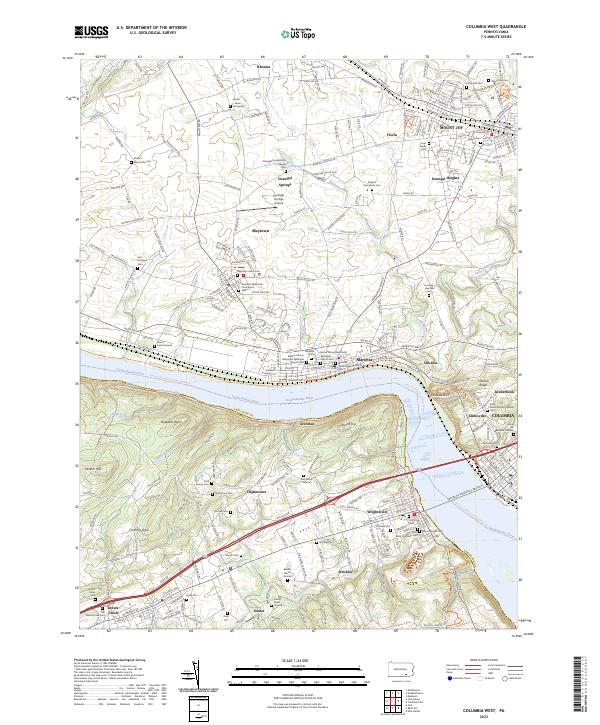
2023 Map of Columbia West
USGS Topo · Published 2023About this map
The Susquehanna River carves a deep boundary between Lancaster and York counties, defining a landscape of historical river towns and upland farming communities. This survey reveals the dense settlement patterns of Marietta, Mount Joy, and Columbia, where the industrial and transport history of the corridor is evident in the transition from riverfront rails to the interior heights of Donegal Heights. Cultural and genealogical history is particularly rich here, with several African Methodist Episcopal landmarks including Wesley African Methodist Episcopal Church and its associated cemetery. To the west, the Hellam Hills rise sharply from the water, marked by distinctive geological features like Chimney Rock and Buzzards Roost. The interior is dotted with numerous family and community burial sites, from the Landis - Gross Graveyard to the Shock Burial Ground, illustrating centuries of local settlement.
Find a feature on this map
81 named features on this map. Tap any name to fly to it.
Don’t see what you’re looking for? This feature index may not catch every label — zoom into the map to look around manually.
Map Details
Editions of this 2023 Columbia West Map
This is the sole edition of this map. No revisions or reprints were ever made.
Other maps of this area

1902 · Lancaster
USGS Topo · 1:62,500

1904 · Lancaster
USGS Topo · 1:62,500

1908 · Middletown
USGS Topo · 1:62,500

1908 · York
USGS Topo · 1:62,500

1910 · York
USGS Topo · 1:62,500

1912 · Mc Calls Ferry
USGS Topo · 1:62,500

1943 · Lancaster
USGS Topo · 1:62,500

1943 · Middletown
USGS Topo · 1:62,500

1943 · Mc Calls Ferry
USGS Topo · 1:62,500

1948 · Baltimore
USGS Topo · 1:250,000