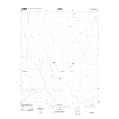
2011 Map of Columbia
USGS Topo · Published 2011About this map
Humbug Creek and Copper Creek carve through the high desert of Yavapai County, defining a landscape marked by legacy ranching and historic mining activity. The map focuses on the small settlements of Humbug and Columbia, providing a clear view of the rural infrastructure in the early 21st century. Named springs like Lizzie Lee Mine Spring and Yellow Jacket Spring highlight the critical role of water management in this arid environment, alongside several established ranching operations including Milk Ranch, Packer, and Champie Ranch.
Find a feature on this map
50 named features on this map. Tap any name to fly to it.
Don’t see what you’re looking for? This feature index may not catch every label — zoom into the map to look around manually.
Map Details
Editions of this 2011 Columbia Map
This is the sole edition of this map. No revisions or reprints were ever made.
Other maps of this area

1887 · Prescott
USGS Topo · 1:250,000

1892 · Prescott
USGS Topo · 1:250,000

1903 · Bradshaw Mountains
USGS Topo · 1:125,000

1947 · Crown King
USGS Topo · 1:62,500

1947 · Bumblebee
USGS Topo · 1:62,500

1948 · Bumblebee
USGS Topo · 1:63,360

1948 · Crown King
USGS Topo · 1:63,360

1950 · Crown King
USGS Topo · 1:62,500

1950 · Bumblebee
USGS Topo · 1:62,500

1950 · Prescott
USGS Topo · 1:250,000