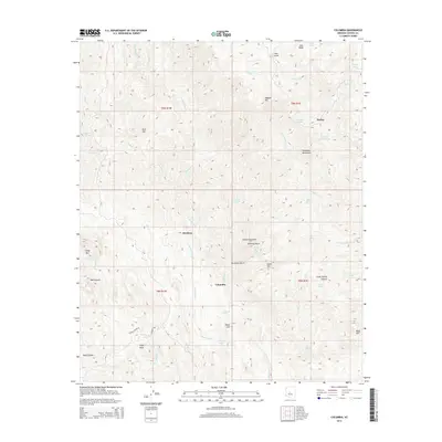
2014 Map of Columbia
USGS Topo · Published 2014About this map
Humbug and Columbia sit within a high-elevation drainage system defined by the southern reaches of the Bradshaw Mountains in Yavapai County. This 2014 survey documents a landscape where topography dictates the location of historical activity, with settlements situated near the confluence of Humbug Cr and numerous dry washes. The network of drainage basins, including Carpenter Gulch and Swilling Gulch, suggests a history of surface prospecting and small-scale water management. Further south, School House Rd provides access to the hills above Ash Cr, near notable landmarks like Eagle Rock and Black Hill. The presence of Lizzie Lee Mine Spring indicates the legacy of mining that once drove development in these canyons, while various tanks such as Mormon Tank and Packer Tank highlight the essential infrastructure for livestock in this arid environment.
Find a feature on this map
48 named features on this map. Tap any name to fly to it.
Don’t see what you’re looking for? This feature index may not catch every label — zoom into the map to look around manually.
Map Details
Editions of this 2014 Columbia Map
This is the sole edition of this map. No revisions or reprints were ever made.
Other maps of this area

1887 · Prescott
USGS Topo · 1:250,000

1892 · Prescott
USGS Topo · 1:250,000

1903 · Bradshaw Mountains
USGS Topo · 1:125,000

1947 · Crown King
USGS Topo · 1:62,500

1947 · Bumblebee
USGS Topo · 1:62,500

1948 · Bumblebee
USGS Topo · 1:63,360

1948 · Crown King
USGS Topo · 1:63,360

1950 · Crown King
USGS Topo · 1:62,500

1950 · Bumblebee
USGS Topo · 1:62,500

1950 · Prescott
USGS Topo · 1:250,000