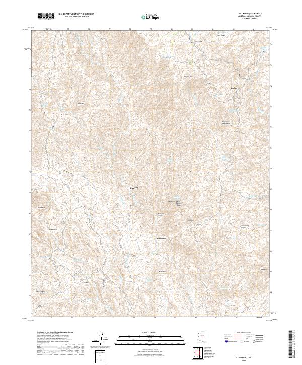
2021 Map of Columbia
USGS Topo · Published 2021About this map
Humbug and Columbia sit deep within the southern reaches of the Bradshaw Mountains, an area long defined by the search for mineral wealth. The landscape is heavily dissected by drainage systems like Humbug Cr and Cottonwood Cr, creating a complex network of gulches and ridges that dictated early access routes. Named features such as Carpenter Gulch and Swilling Gulch suggest a history of prospecting and homesteading, while the presence of Lizzie Lee Mine Spring and the S Humbug Mine Rd point to the persistent legacy of mining operations in these canyons. Water sources remain critical landmarks in this arid environment, evidenced by the many named tanks and springs like Packer Tank and Mulberry Spring. The road network, including Cow Creek Rd and Columbia Rd, follows the natural contours of the terrain, connecting these isolated settlements and mountain outposts to the surrounding high desert of Yavapai County.
Find a feature on this map
54 named features on this map. Tap any name to fly to it.
Don’t see what you’re looking for? This feature index may not catch every label — zoom into the map to look around manually.
Map Details
Editions of this 2021 Columbia Map
This is the sole edition of this map. No revisions or reprints were ever made.
Other maps of this area

1887 · Prescott
USGS Topo · 1:250,000

1892 · Prescott
USGS Topo · 1:250,000

1903 · Bradshaw Mountains
USGS Topo · 1:125,000

1947 · Crown King
USGS Topo · 1:62,500

1947 · Bumblebee
USGS Topo · 1:62,500

1948 · Bumblebee
USGS Topo · 1:63,360

1948 · Crown King
USGS Topo · 1:63,360

1950 · Crown King
USGS Topo · 1:62,500

1950 · Bumblebee
USGS Topo · 1:62,500

1950 · Prescott
USGS Topo · 1:250,000