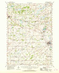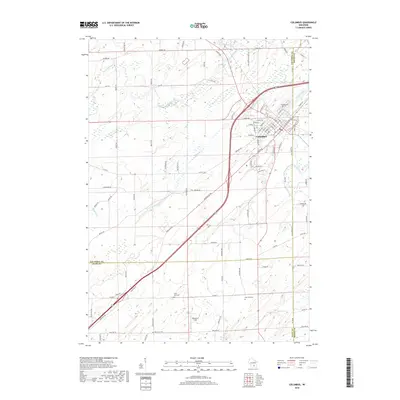
1980 Map of Columbus
USGS Topo · Published 1981About this map
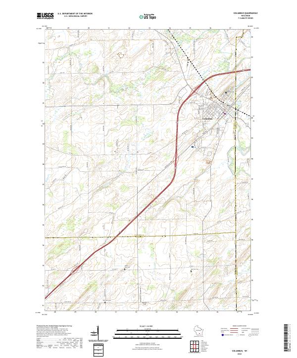
The Crawfish River winds through this 1980 survey of Columbus, where the Chicago Milwaukee St Paul and Pacific railroad bisects the landscape. The map highlights a community deeply rooted in its local institutions, from the Wisconsin Academy and St Jerome Sch to multiple rural burial grounds like Hillside Cem and Oak Lawn Cem. The surrounding townships of Fountain Prairie, Columbus, York, and Portland are defined by a dense grid of family-named roads, such as Krause Road and Jahnke Road, reflecting generations of agricultural heritage across the Columbia, Dane, and Dodge County lines.
Find a feature on this map
66 named features on this map. Tap any name to fly to it.
Don’t see what you’re looking for? This feature index may not catch every label — zoom into the map to look around manually.
Map Details
Editions of this 1980 Columbus Map
This is the sole edition of this map. No revisions or reprints were ever made.
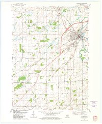
Historical Maps of Columbus Through Time
7 maps found