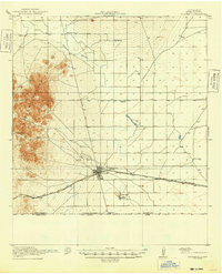
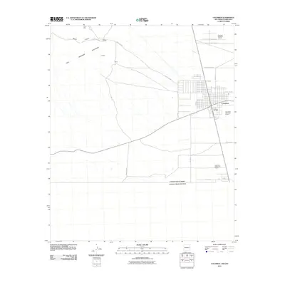
1920 Map of Columbus
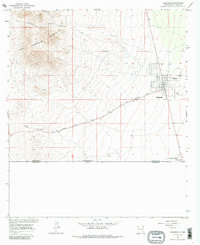
USGS Topo · Published 1940About this map
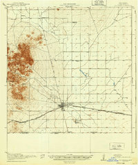
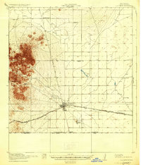
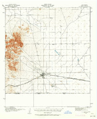
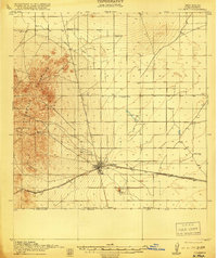
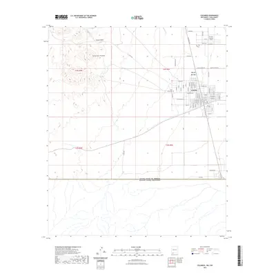
The high desert of Luna County meets the international border at the settlement of Columbus, a critical junction defined by the El Paso and Southwestern railroad. In this era, the landscape is dotted with remote outposts and family ranching operations such as Stephenson Ranch and Rascon Ranch, which relied on scarce water sources like Niggerhead Spring and Stiles Reservoir. The presence of the Mayfield School and Sunnyside School reflects a sparse but organized frontier community. Transport is dictated by the Deming Road and the rail line, while the southern margin explicitly marks the United States Mexico Boundary Line and the Boundary Gate, illustrating the proximity of the Mexican state of Chihuahua. This survey captures a specific moment in the borderlands history, shortly after the region gained national attention for military activity.
Find a feature on this map
16 named features on this map. Tap any name to fly to it.
Don’t see what you’re looking for? This feature index may not catch every label — zoom into the map to look around manually.
Map Details
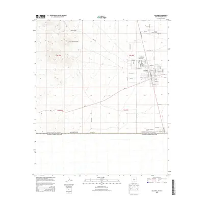
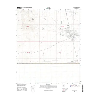
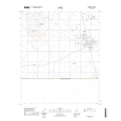
Editions of this 1920 Columbus Map
3 editions found
Historical Maps of Luna County Through Time
11 maps found
1917 Columbus
Luna County, NM
1918 Columbus
Luna County, NM
1920 Columbus
Luna County, NM
1965 Columbus
Luna County, NM
1981 Columbus
Luna County, NM
1996 Columbus
Luna County, NM
2010 Columbus
Luna County, NM
2013 Columbus
Luna County, NM
2017 Columbus
Luna County, NM
2020 Columbus
Luna County, NM
2023 Columbus
Luna County, NM