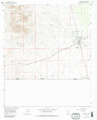
1965 Map of Columbus
USGS Topo · Published 1986About this map
The border town of Columbus serves as the focal point for this survey, situated just north of the United States Mexico boundary line. This desert landscape is shaped by its international proximity and historical significance, evidenced by the presence of Pancho Villa State Park and the Port of Entry US Customs. To the west, the Tres Hermanas Mountains rise sharply, marked by Rascon Canyon and several scattered prospects and a quarry, indicating the area's mineral exploration.
Find a feature on this map
18 named features on this map. Tap any name to fly to it.
Don’t see what you’re looking for? This feature index may not catch every label — zoom into the map to look around manually.
Map Details
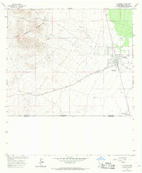
Editions of this 1965 Columbus Map
2 editions found
Other maps of this area

1917 · Hermanas
USGS Topo · 1:62,500

1917 · Columbus
USGS Topo · 1:62,500

1918 · Columbus
USGS Topo · 1:62,500

1918 · Hermanas
USGS Topo · 1:62,500

1920 · Columbus
USGS Topo · 1:62,500

1943 · Hermanas
USGS Topo · 1:62,500

1953 · El Paso
USGS Topo · 1:250,000

1959 · El Paso
USGS Topo · 1:250,000

1964 · El Paso
USGS Topo · 1:250,000

1965 · El Paso
USGS Topo · 1:250,000