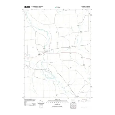
2010 Map of Columbus
USGS Topo · Published 2010About this map
Brokenstraw Creek meanders through this portion of Warren County, Pennsylvania, and Chautauqua County, New York, defining the drainage and settlement patterns for the village of Columbus. The landscape is marked by a series of family-named road junctions and crossings, such as Scotts Crossing and Dewey Corners, which suggest a long history of rural landholdings and farm-to-market routes. Genealogists will find the Westlawn Cemetery and Curtis Cemetery established near the creek banks, while the northern border captures the small community of Bear Lake.
Find a feature on this map
72 named features on this map. Tap any name to fly to it.
Don’t see what you’re looking for? This feature index may not catch every label — zoom into the map to look around manually.
Map Details
Editions of this 2010 Columbus Map
This is the sole edition of this map. No revisions or reprints were ever made.
Other maps of this area

1904 · Chautaqua
USGS Topo · 1:62,500

1905 · Clymer
USGS Topo · 1:62,500

1926 · Youngsville
USGS Topo · 1:62,500

1929 · Corry
USGS Topo · 1:48,000

1929 · Youngsville
USGS Topo · 1:62,500

1932 · Corry
USGS Topo · 1:62,500

1939 · Clymer
USGS Topo · 1:62,500

1941 · Chautauqua
USGS Topo · 1:62,500

1941 · Clymer
USGS Topo · 1:62,500

1943 · Youngsville
USGS Topo · 1:62,500