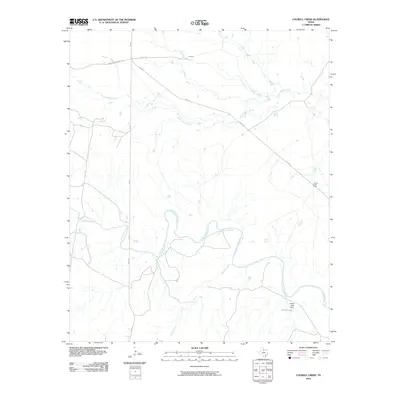
2010 Map of Colwell Creek
USGS Topo · Published 2010About this map
The North Wichita River meanders across this rural Knox County landscape, carving deep loops through the Texas ranchlands. The topography is defined by the convergence of several significant watercourses, including the westward-flowing South Beaver Creek and the namesake Colwell Creek. Human activity is concentrated around scattered ranching outposts such as K Camp and the North Fork Pens, which are connected by a network of farm-to-market roads and local routes like Montgomery Ranch Rd and Halsell Rd.
Find a feature on this map
11 named features on this map. Tap any name to fly to it.
Don’t see what you’re looking for? This feature index may not catch every label — zoom into the map to look around manually.
Map Details
Editions of this 2010 Colwell Creek Map
This is the sole edition of this map. No revisions or reprints were ever made.
Other maps of this area

1954 · Wichita Falls
USGS Topo · 1:250,000

1958 · Wichita Falls
USGS Topo · 1:250,000

1966 · Santa Rosa Lake SW
USGS Topo · 1:24,000

1966 · Soap Creek
USGS Topo · 1:24,000

1966 · Colwell Creek
USGS Topo · 1:24,000

1966 · Halsell Ranch
USGS Topo · 1:24,000

1966 · Gilliland
USGS Topo · 1:24,000

1966 · Crowell
USGS Topo · 1:24,000

1966 · Vera
USGS Topo · 1:24,000

1966 · Thalia
USGS Topo · 1:24,000