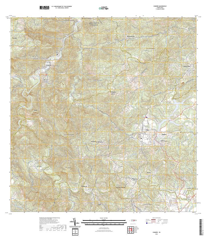
2024 Map of Comerio
USGS Topo · Published 2024About this map
The Río de la Plata winds through the center of this terrain, anchoring a landscape defined by the prominent Comerío settlement and the neighboring community of Cidra. This modern survey reveals a dense network of local routes including PR 156 and PR 172, which connect smaller residential enclaves like Palomas, Honduras, and Rincón. Genealogists will find particular value in the documentation of three distinct burial sites: the Cementerio Histórico de Comerío, the Cementerio Municipal de Comerío, and the Cementerio Municipal de Cidra.
Find a feature on this map
101 named features on this map. Tap any name to fly to it.
Don’t see what you’re looking for? This feature index may not catch every label — zoom into the map to look around manually.
Map Details
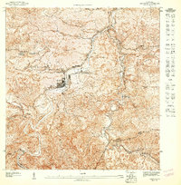
Editions of this 2024 Comerio Map
This is the sole edition of this map. No revisions or reprints were ever made.
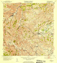
Historical Maps of El Higuero Through Time
5 maps found


Featured Locations
- Sector Delfín "Fito" Cartagena Hernández, Aguas Buenas
- Comunidad La Cumbre, Cidra
- Cidra, Cidra
- Comerío, Comerío
- Sector Loma Pilfo, Cayey