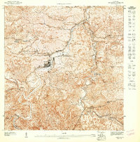
1947 Map of Comerio NO
USGS Topo · Published 1948About this map
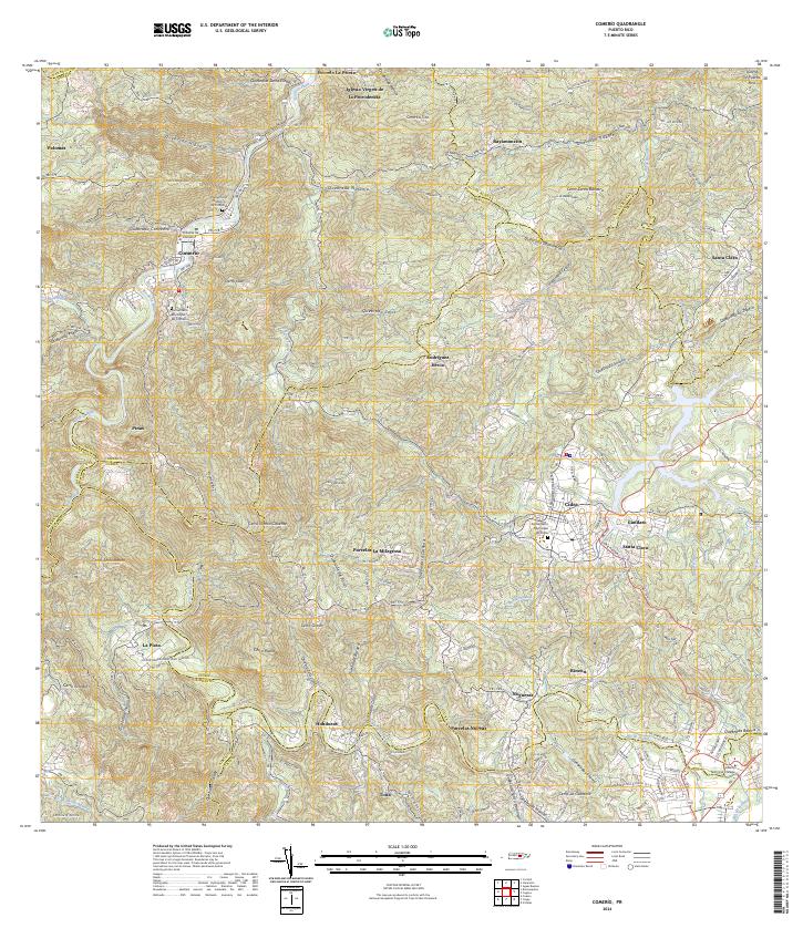
Comerio sits at the heart of this 1940s topographic study, where the tight contours of the Puerto Rican interior reveal a landscape defined by deep river valleys and steep ridges. The Rio de la Plata carves a winding path through the center of the sheet, joined by various tributaries including Quebrada Convento and Quebrada Dona Elena. This map captures the town's layout and its educational infrastructure during a period of local development, featuring the Escuela Superior de Comerio and the Escuela Segunda Unidad de Palomas.
Find a feature on this map
16 named features on this map. Tap any name to fly to it.
Don’t see what you’re looking for? This feature index may not catch every label — zoom into the map to look around manually.
Map Details
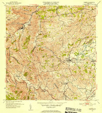
Editions of this 1947 Comerio NO Map
This is the sole edition of this map. No revisions or reprints were ever made.
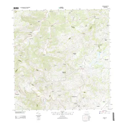
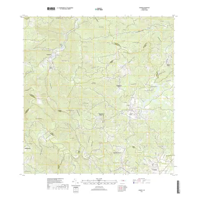
Historical Maps of Comerío Through Time
7 maps found


Featured Locations
- Sector Rivera, Cidra
- Comerío, Comerío
- El 26, Comerío
- Sector Las Nereidas, Comerío
- Reparto Acosta, Comerío