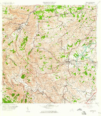
1957 Map of Comerio
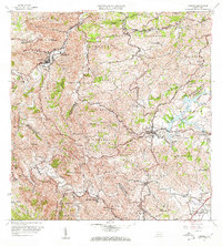
USGS Topo · Published 1982About this map
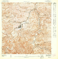
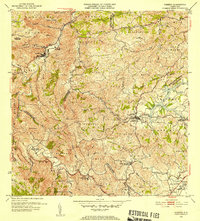
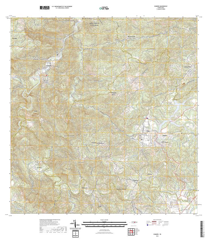
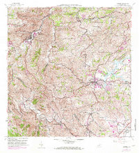
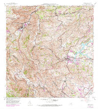
Comerio and Cidra anchor this mid-century portrait of Puerto Rico’s central mountainous region, showing a landscape defined by the winding course of the Río de la Plata and the waters of Lago Cidra. The map reveals a dense network of barrios and communities, including Bayamoncito, Santa Bárbara, and Vegas, connected by winding insular routes. A strong emphasis on local education is evident through the presence of institutions like the Escuela Superior de Comerío and the Escuela Vocacional Eugenio María de Hostos. This 1957 survey, later updated with photorevisions, provides a critical look at the infrastructure of the era, from the Central Cayey settlement in the southeast to the Planta de Tratamiento de Aguas Negras near the reservoir. The topography is dominated by prominent peaks such as Cerro La Tiza and Cerro Magueyes, illustrating the steep terrain that dictated the layout of small settlements and agriculture.
Find a feature on this map
92 named features on this map. Tap any name to fly to it.
Don’t see what you’re looking for? This feature index may not catch every label — zoom into the map to look around manually.
Map Details
Editions of this 1957 Comerio Map
5 editions found
Historical Maps of Cidra Through Time
7 maps found