Loading...
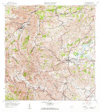
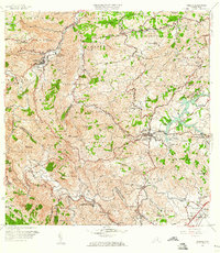
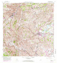
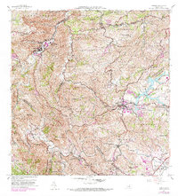
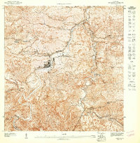
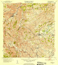
Loading map...1957 Map of Comerio
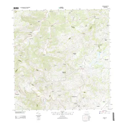
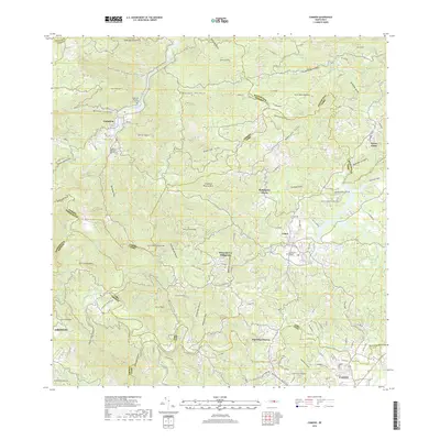
USGS Topo · Published 1968About this map
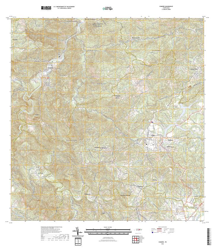
Comerio and the winding Río de la Plata define the high-relief interior of Puerto Rico in this mid-century survey. The landscape is marked by a transition from the urban density of the Pueblo and Comerio town center to the agricultural and mountainous barrios of Dona Elena, Naranjo, and Honduras. Infrastructure for a growing population is evident, including the Planta de Tratamiento de Aguas Negras near Lago Cidra and several educational institutions like the Escuela Superior de Comerio.
Find a feature on this map
81 named features on this map. Tap any name to fly to it.
Don’t see what you’re looking for? This feature index may not catch every label — zoom into the map to look around manually.
Map Details
Date Portrayed1957
Date Published1968
PublisherU.S. Geological Survey
Map TypeTopographic
Scale1:20,000
Physical Dimensions29 x 32.2 inches
Editions of this 1957 Comerio Map
5 editions found

Historical Maps of Cidra Through Time
7 maps found

Featured Locations
Source Details
SourceU.S. Geological Survey
CopyrightPublic Domain