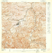
1953 Map of Comerio
USGS Topo · Published 1953About this map
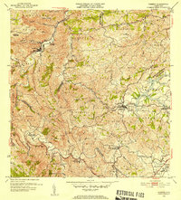
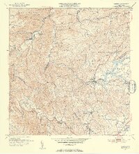
Rio De La Plata carves a deep, winding path through this central mountain landscape, serving as the primary geographical anchor for the town of Comerio. This mid-century survey documents the region's educational and social infrastructure through a network of rural schools, including the Escuela Segunda Unidad de Palomas and Escuela Segunda Unidad de Toita. The map reflects a period of development where established centers like Cidra are connected by narrow mountain routes to smaller barrios and agricultural areas. Evidence of local planning and community organization appears in labels like Proyecto La Plata and the Centro Comunal Nogueras, providing a detailed look at the island's interior before the significant urban expansion of later decades. Numerous named quebradas, such as Quebrada Dona Elena and Quebrada Bayamoncito, illustrate the intricate drainage patterns that define the local terrain.
Find a feature on this map
97 named features on this map. Tap any name to fly to it.
Don’t see what you’re looking for? This feature index may not catch every label — zoom into the map to look around manually.
Map Details
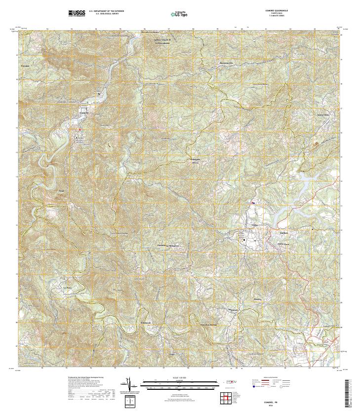
Editions of this 1953 Comerio Map
2 editions found
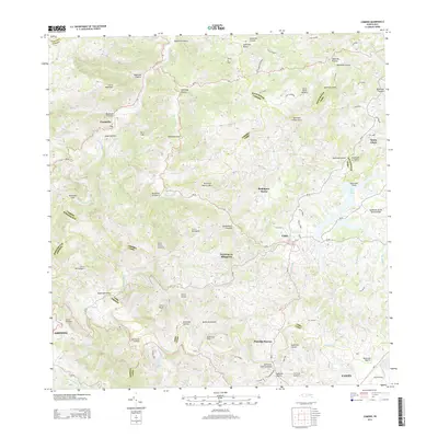
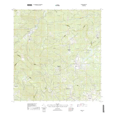
Historical Maps of Cidra Through Time
7 maps found