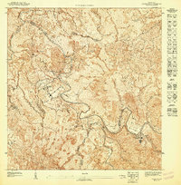
1947 Map of Comerio SO
USGS Topo · Published 1947About this map
Proyecto La Plata sits at the heart of this mountainous region, highlighting a period of directed development in the Puerto Rican interior. The landscape is defined by the winding course of the Rio La Plata and its tributary, the Rio Usabon, which carve deep valleys between prominent peaks like Cerro Almirante o Rabanal and Cerro Viento Caliente. This 1940s survey reveals a dispersed settlement pattern typical of the era's agricultural economy, where small clusters of buildings and schools served as community anchors in the highlands.
Find a feature on this map
12 named features on this map. Tap any name to fly to it.
Don’t see what you’re looking for? This feature index may not catch every label — zoom into the map to look around manually.
Map Details
Editions of this 1947 Comerio SO Map
This is the sole edition of this map. No revisions or reprints were ever made.
Other maps of this area

1946 · Coamo
USGS Topo · 1:30,000

1946 · Barranquitas
USGS Topo · 1:30,000

1946 · Cayey
USGS Topo · 1:30,000

1946 · Comerio
USGS Topo · 1:30,000

1947 · Cayey NO
USGS Topo · 1:10,000
1947 · Cayey NE
USGS Topo · 1:10,000
1947 · Barranquitas NE
USGS Topo · 1:10,000
1947 · Comerio SE
USGS Topo · 1:10,000
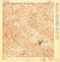
1947 · Barranquitas SE
USGS Topo · 1:10,000
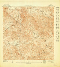
1947 · Coamo NE
USGS Topo · 1:10,000
Featured Places
- Comunidad San José, Cidra
- Comunidad Luz María, Cidra
- Comunidad Rivera, Cidra
- Sector Hoyo Frío, Aibonito
- Comunidad La Casilla, Cayey