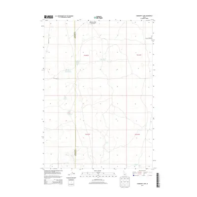
2013 Map of Community Lake
USGS Topo · Published 2013About this map
Craters Of The Moon National Preserve reaches into the northern reaches of this Idaho landscape, where the high desert terrain is punctuated by a network of water management features and isolated lakes. The boundary between Lincoln Co and Minidoka Co bisects the area, providing a geographical anchor for researchers tracking historical land divisions. Named water bodies like Community Lake, Hansen Lake, and Section Twenty-Five Lake indicate the distribution of water resources across the arid expanse. The southern portion of the quadrangle shows the clustered water features of N Farms Lakes, while the presence of Section Twenty-Eight Reservoir and Flat Top Reservoir highlights the importance of water storage in this region. Local transit is represented by simple routes such as Brigham Point Rd and Kimama Cave Rd, which connect these remote water sources and landmarks.
Find a feature on this map
17 named features on this map. Tap any name to fly to it.
Don’t see what you’re looking for? This feature index may not catch every label — zoom into the map to look around manually.
Map Details
Editions of this 2013 Community Lake Map
This is the sole edition of this map. No revisions or reprints were ever made.
Other maps of this area

1954 · Pocatello
USGS Topo · 1:250,000

1955 · Idaho Falls
USGS Topo · 1:250,000

1958 · Idaho Falls
USGS Topo · 1:250,000

1958 · Pocatello
USGS Topo · 1:250,000

1972 · Shale Butte
USGS Topo · 1:24,000

1972 · Kimama
USGS Topo · 1:24,000

1972 · Community Lake
USGS Topo · 1:24,000

1972 · Max
USGS Topo · 1:24,000

1972 · Laidlaw Lake
USGS Topo · 1:24,000

1972 · Bottleneck Lake
USGS Topo · 1:24,000