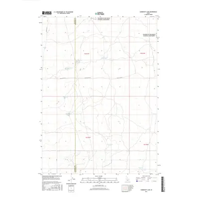
2017 Map of Community Lake
USGS Topo · Published 2017About this map
Craters of the Moon National Monument occupies the northern reaches of this Idaho landscape, where the volcanic terrain of the Snake River Plain meets the agricultural and grazing lands of Lincoln and Minidoka counties. The map reveals an intricate network of water management features essential for this arid environment, including the Kimama Marsh Reservoir, Flat-Top Reservoir, and the Section Twenty-Eight Reservoir. These basins, along with natural features like Hansen Lake and the eponymous Community Lake, illustrate the historical effort to capture and utilize surface water across the high desert. Local travel is defined by rugged corridors such as Kimama Cave Rd and Bear Trap Cave Rd, providing access to the geologically significant formations that characterize this unique region of the American West.
Find a feature on this map
18 named features on this map. Tap any name to fly to it.
Don’t see what you’re looking for? This feature index may not catch every label — zoom into the map to look around manually.
Map Details
Editions of this 2017 Community Lake Map
This is the sole edition of this map. No revisions or reprints were ever made.
Other maps of this area

1954 · Pocatello
USGS Topo · 1:250,000

1955 · Idaho Falls
USGS Topo · 1:250,000

1958 · Idaho Falls
USGS Topo · 1:250,000

1958 · Pocatello
USGS Topo · 1:250,000

1972 · Shale Butte
USGS Topo · 1:24,000

1972 · Kimama
USGS Topo · 1:24,000

1972 · Community Lake
USGS Topo · 1:24,000

1972 · Max
USGS Topo · 1:24,000

1972 · Laidlaw Lake
USGS Topo · 1:24,000

1972 · Bottleneck Lake
USGS Topo · 1:24,000