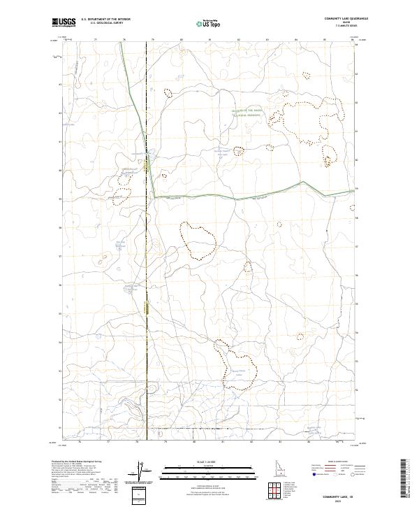
2023 Map of Community Lake
USGS Topo · Published 2023About this map
The high desert landscape of the Snake River Plain is defined here by the volcanic expanse of Craters Of The Moon National Preserve and a network of water management features along the border of Lincoln and Minidoka counties. In a region where water is the primary driver of settlement and land use, small impoundments like Section Twenty-Eight Reservoir and the Kimama Marsh Reservoir dot the terrain. These catchments, alongside natural features like Community Lake and Jansen Lake, illustrate the historical efforts to capture runoff in a semi-arid environment.
Find a feature on this map
18 named features on this map. Tap any name to fly to it.
Don’t see what you’re looking for? This feature index may not catch every label — zoom into the map to look around manually.
Map Details
Editions of this 2023 Community Lake Map
This is the sole edition of this map. No revisions or reprints were ever made.
Other maps of this area

1954 · Pocatello
USGS Topo · 1:250,000

1955 · Idaho Falls
USGS Topo · 1:250,000

1958 · Idaho Falls
USGS Topo · 1:250,000

1958 · Pocatello
USGS Topo · 1:250,000

1972 · Shale Butte
USGS Topo · 1:24,000

1972 · Kimama
USGS Topo · 1:24,000

1972 · Community Lake
USGS Topo · 1:24,000

1972 · Max
USGS Topo · 1:24,000

1972 · Laidlaw Lake
USGS Topo · 1:24,000

1972 · Bottleneck Lake
USGS Topo · 1:24,000