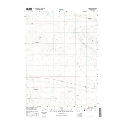
2015 Map of Como East
USGS Topo · Published 2015About this map
Oil Springs sits at the northern edge of this high-plains landscape, where the Medicine Bow River and Little Medicine Bow River wind through a complex topography of ridges and draws. The geography is defined by geological features such as Fossil Ridge, Slate Ridge, and the winding Calvin Bend, illustrating the natural drainage patterns that feed into local water bodies like Como Lake and Allen Lake.
Find a feature on this map
25 named features on this map. Tap any name to fly to it.
Don’t see what you’re looking for? This feature index may not catch every label — zoom into the map to look around manually.
Map Details
Editions of this 2015 Como East Map
This is the sole edition of this map. No revisions or reprints were ever made.
Other maps of this area

1914 · Saddleback Hills
USGS Topo · 1:62,500

1915 · Como Ridge
USGS Topo · 1:48,000

1918 · Como Ridge
USGS Topo · 1:62,500

1921 · Saddleback Hills
USGS Topo · 1:62,500

1954 · Rawlins
USGS Topo · 1:250,000

1955 · Casper
USGS Topo · 1:250,000

1958 · Rawlins
USGS Topo · 1:250,000

1958 · Casper
USGS Topo · 1:250,000

1961 · T B Ranch
USGS Topo · 1:24,000
1961 · Windy Hill
USGS Topo · 1:24,000