
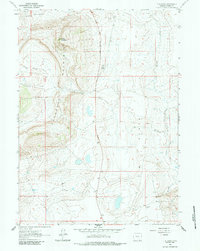
1961 Map of T B Ranch
USGS Topo · Published 1964About this map
The Freezeout Mountains dominate this Carbon County landscape, rising sharply above the expansive T B Flat. This early 1960s survey documents a high-desert terrain where water is the primary organizing force, evidenced by the central placement of the T B Ranch near T B Spring. These isolated ranching outposts relied on a network of intermittent water sources and drainage features like Cottonwood Creek and Willow Spring Creek to sustain operations in an otherwise arid environment.
Find a feature on this map
11 named features on this map. Tap any name to fly to it.
Don’t see what you’re looking for? This feature index may not catch every label — zoom into the map to look around manually.
Map Details
Editions of this 1961 T B Ranch Map
2 editions found
Other maps of this area

1914 · Saddleback Hills
USGS Topo · 1:62,500

1915 · Como Ridge
USGS Topo · 1:48,000

1918 · Como Ridge
USGS Topo · 1:62,500

1921 · Saddleback Hills
USGS Topo · 1:62,500

1954 · Rawlins
USGS Topo · 1:250,000

1955 · Casper
USGS Topo · 1:250,000

1958 · Rawlins
USGS Topo · 1:250,000

1958 · Casper
USGS Topo · 1:250,000
1961 · Walker Draw SE
USGS Topo · 1:24,000
1961 · Big Charlie Lakes
USGS Topo · 1:24,000