2024 Map of Compton
USGS Topo · Published 2024About this map
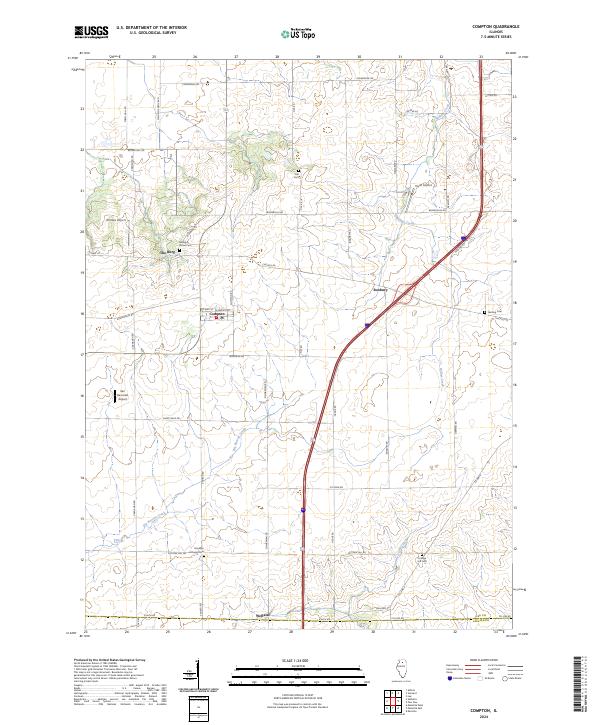
Big Bureau Creek and its northern tributaries wind through a landscape defined by century-old cemeteries and agricultural corridors in rural Lee and LaSalle Counties. This contemporary survey of the Compton area reveals a distribution of historic burial sites that reflect the region's mid-19th-century pioneer origins, including Melugin Grove Cem and Harding Cem. Small settlements like Welland and the uniquely named The Burg anchor the surrounding grid of farm-to-market roads, while local aviation history is marked by several small airfields such as Earl Barnickel Airport and Dunn Airport. At the southern margin, the Brooklyn Lutheran Cem sits near the crossing of Cottage Hill Rd, highlighting the enduring presence of religious and community landmarks in this prairie landscape. The drainage patterns of Willow Creek and Fourmile Grove Creek continue to shape the local topography around the village of Compton.
Find a feature on this map
47 named features on this map. Tap any name to fly to it.
Don’t see what you’re looking for? This feature index may not catch every label — zoom into the map to look around manually.
Map Details
Editions of this 2024 Compton Map
This is the sole edition of this map. No revisions or reprints were ever made.
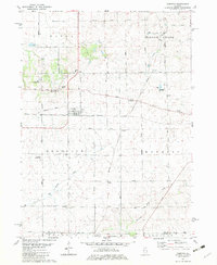
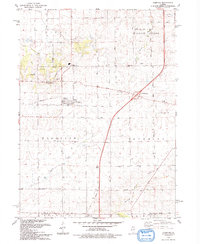
Historical Maps of Viola Township Through Time
Featured Locations
- Meriden Township, IL
- Viola Township, IL
- Wyoming Township, IL
- Brooklyn Township, IL
- Compton, Brooklyn Township