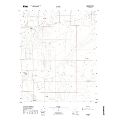
2018 Map of Concho
USGS Topo · Published 2018About this map
Concho anchors this high-elevation landscape in Apache County, where the desert plateau meets a network of vital water sources. The settlement is situated near the northern edge of the map, north of Concho Spring Knoll and the drainage of Concho Cr. The map's detail reveals an arid environment defined by named springs that historically sustained ranching and travel, including Schuster Spring, Malpais Spring, and Hamblin Spring.
Find a feature on this map
41 named features on this map. Tap any name to fly to it.
Don’t see what you’re looking for? This feature index may not catch every label — zoom into the map to look around manually.
Map Details
Editions of this 2018 Concho Map
This is the sole edition of this map. No revisions or reprints were ever made.
Other maps of this area
1886 · St Johns
USGS Topo · 1:250,000
1892 · St Johns
USGS Topo · 1:250,000

1954 · Saint Johns
USGS Topo · 1:250,000
1955 · Adamana 4 SW
USGS Topo · 1:24,000
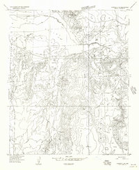
1955 · Adamana 4 SE
USGS Topo · 1:24,000
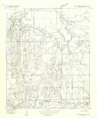
1955 · Wolford Springs 3 SW
USGS Topo · 1:24,000
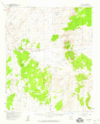
1955 · Hunt
USGS Topo · 1:62,500

1957 · Saint Johns
USGS Topo · 1:250,000

1958 · Saint Johns
USGS Topo · 1:250,000

1962 · Saint Johns
USGS Topo · 1:250,000