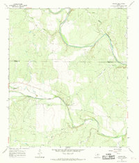
1967 Map of Concho
USGS Topo · Published 1969About this map
The confluence of the Colorado River and the Concho River dominates this West Texas landscape, where the boundary between Runnels and Concho Counties cuts across a terrain defined by limestone bluffs and creek drainages. The small settlement of Concho is marked by a central Cem, while the curiously named Fuzzy sits to the west along the northern bank of the river. The area's mid-century rural economy is evidenced by scattered Oil Wells, Gas Wells, and a Gravel Pit. Notable geographic landmarks like Deadmans Bluff and Brushy Bluff rise above the water, framing the various branches and creeks such as Dripping Hole Branch and Pony Creek that feed into the primary river systems. This 1967 survey provides a detailed look at the water-access points and land-use patterns in a sparsely populated ranching and energy-producing region.
Find a feature on this map
19 named features on this map. Tap any name to fly to it.
Don’t see what you’re looking for? This feature index may not catch every label — zoom into the map to look around manually.
Map Details
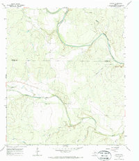
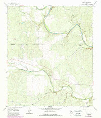
Editions of this 1967 Concho Map
3 editions found
Other maps of this area

1892 · Eden
USGS Topo · 1:125,000

1892 · Ballinger
USGS Topo · 1:125,000

1896 · Eden
USGS Topo · 1:125,000

1921 · Spur Creek
USGS Topo · 1:31,680

1925 · Ballinger 3-d
USGS Topo · 1:48,000

1925 · Ballinger 4-c
USGS Topo · 1:48,000

1931 · Stacy
USGS Topo · 1:62,500

1932 · Voss
USGS Topo · 1:62,500

1932 · Paint Rock
USGS Topo · 1:62,500

1954 · Brownwood
USGS Topo · 1:250,000